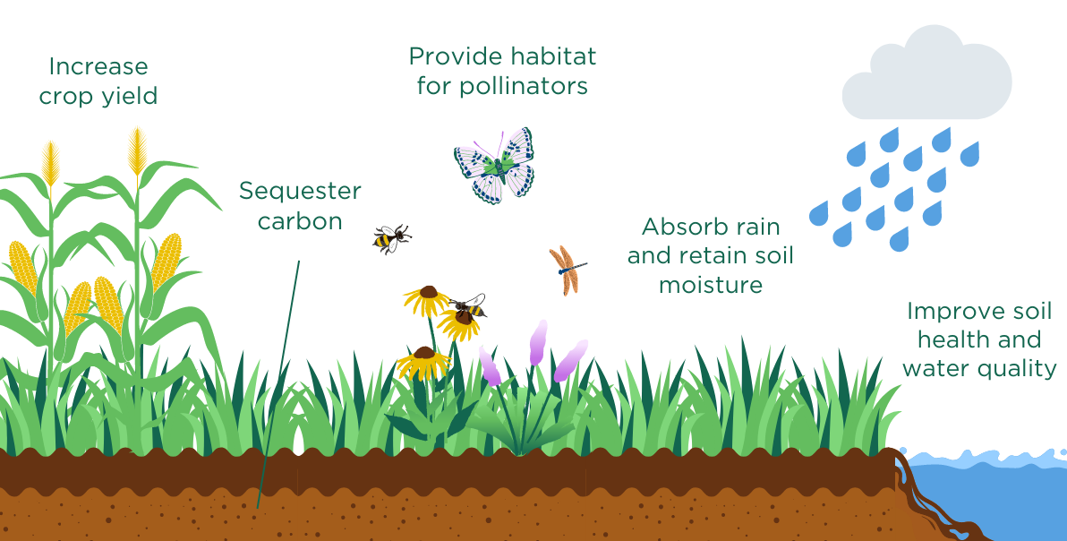
Crop cover detection and planning is an important part of regenerative agriculture. Crop covers, also known as cover crops, are crops that are grown to protect and improve the soil between the primary cash crops. They can improve soil health, prevent erosion, and suppress weeds.
Want to detect Crop Cover?
Map My Crop is a remote sensing technology that uses satellite imagery and vegetation indices to detect cover crops and monitor their prevalence over large areas. The technology allows stakeholders in the agrifood chain and water resource management to analyze vegetation indices during the growing season and verify the presence and health of cover crops.
Vegetation indices are mathematical algorithms that use the reflective properties of vegetation to measure changes in its health, density, and coverage. By analyzing these indices, Map My Crop can identify the presence of cover crops and assess their health and growth patterns over time.
The technology provides a range of benefits to stakeholders in the agrifood chain and water resource management. For example:
- Farmers can use Map My Crop to assess the health of cover crops and adjust their management practices as needed to optimize their growth and yield potential.
- Regulators can use the technology to monitor compliance with regulations that require the use of cover crops in certain regions, and to assess the impact of cover crops on soil health and water quality.
- Processors and retailers can use the technology to verify the use of cover crops in the supply chain, providing greater transparency and assurance to consumers.
Overall, Map My Crop is a powerful tool for assessing the prevalence and health of cover crops over large areas, and can help to promote more sustainable and efficient agricultural practices.