
Deforestation monitoring
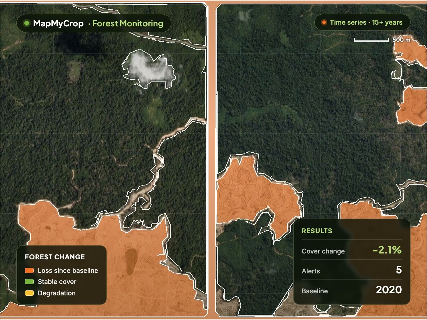
Detects clearing and tracks loss over time, with alerts and loss polygons so a response is possible.
Map, legend and results in one view.

Forest Monitoring
Tracks forest cover and change over time from satellite data. Deforestation alerts, reforestation progress, species, health, fire and carbon estimates, with dated evidence for reporting.
Forest Monitoring uses satellite imagery, AI and elevation data to map loss, regrowth, species and health across any number of stands. Alongside the modules below it adds compliance evidence packs, hyperlocal weather and stand-level tree counts.
Detects clearing and tracks loss over time, with alerts and loss polygons so a response is possible.
Compares cover across dates and identifies tree cutting across large areas from imagery series, with area cut per audit.
Measures establishment and progress of planting projects against their goals, as progress maps.
Classifies tree species across large areas and maps canopy density, stress and disease signals per stand.
Estimates carbon stock and biomass per area to support climate and sustainable forestry reporting.
Thermal-anomaly alerts for active fires, a fire-hazard outlook, and plant moisture reports that flag disease and fire risk.
City and estate trees
Detail where satellites stop
Track and report practices
Oil palm estates
Forest loss area per period and the time from clearing to alert show where to act and how fast the response is.
Reforestation survival and cover gain, hectares established against hectares planted, measured against project goals.
Dated imagery and reports support verification and audit evidence for frameworks such as EUDR and RSPO. MapMyCrop does not certify compliance.
The share of sourcing area verified deforestation-free since a cut-off date, across every supply polygon you monitor.
Fire alerts, a fire-hazard outlook, water stress reports and hyperlocal weather with growing-degree sums relate weather to growth per stand.
Monthly, quarterly or yearly change reports in PDF and spreadsheet, configurable notifications, and carbon stock and change per area.
Forest Monitoring tracks forest cover and change over time from satellite data. It outputs deforestation alerts and loss polygons, cover and reforestation maps, species and health indicator maps, carbon and biomass estimates, fire alerts and dated evidence packs for any number of stands.
Forestry departments, governments and NGOs; commodity buyers and traders checking sourcing areas; carbon and restoration project developers; plantation, timber and logging companies; and investors and lenders with forestry assets. For oil palm estates, see Palm Oil Monitoring.
No product can do that on its own. Forest Monitoring provides dated imagery, data and reports that can support verification, reporting and audit evidence for frameworks such as EUDR and RSPO. Compliance decisions remain with you and your auditors. For practice tracking on farmland, see the Sustainable Agriculture Suite.
Multi-source satellite imagery, AI change-detection and classification models and elevation data, with stand-level tree counts and species from high-resolution imagery. Results are delivered in the platform, as alerts, PDF and spreadsheet reports, exports and through the MapMyCrop API.
Forest Monitoring estimates carbon stock and biomass per area and tracks change over time to support climate reporting. The method is internal and not published; talk to our team about how the estimates fit your reporting.
Forest Monitoring shares the platform modules of every MapMyCrop monitoring product: 60+ remote-sensing indices from 10+ satellite providers, compare maps, AI scouting tasks, irrigation and fertigation, AI advisory, disease prediction and detection, variable-rate prescription maps, reports, a help desk and an enterprise dashboard. For trees in cities and estates, see Urban Tree Monitoring; for detail satellites cannot resolve, add Drone Monitoring.
Share your region, the forests, stands or sourcing areas you need to monitor and your reporting use case, and we will show Forest Monitoring on your area of interest.
MapMyCrop is used by 7M+ farmers across 80+ countries. Talk to our team about Forest Monitoring for your region, stands or supply chain.


