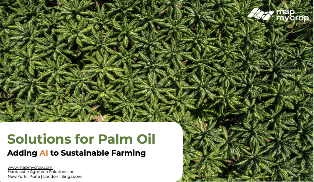
🌍 Why Palm Oil Monitoring Needs a Modern Makeover
Palm oil is at the heart of the global edible oil economy. Yet, its cultivation faces mounting challenges—sustainability compliance, yield inconsistencies, pest outbreaks, and the urgent need for zero-deforestation practices.
Enter Map My Crop — a next-gen platform leveraging AI, satellite data, and 20+ years of ground intelligence to transform how we monitor and manage oil palm plantations.
What Sets Map My Crop Apart?
Our proprietary platform is built by farmers, for farmers, combining in-house PhDs, agronomists, and AI experts to deliver an intuitive, automated monitoring suite. Here’s how we’re changing the game:
AI-Powered Tree Detection & Automated Counting
We offer industry-first automated palm tree counting, down to the individual tree level—eliminating the need for drones or manual surveys.
🔍 Benefits:
Identify planting gaps
Calculate actual tree density
Optimize plantation management
Detect trees with declining health via NDVI, NDRE & chlorophyll stress maps
Satellite-Based Plantation Monitoring — At 1m Resolution
Forget low-res guesses. Map My Crop delivers true 1m resolution imagery to help you:
Detect early-stage diseases and pest threats
Monitor crop growth and stress
Get VRA maps for fertilizer optimization
Enable traceability with field-level insights
Soil Moisture at 1m Depth – A Game-Changer for Palm Roots
We offer soil moisture monitoring at root-depth (1m), a critical factor for young palm development and yield potential.
Features:
Moisture stress maps
Waterlogging alerts
Historic & real-time weather correlation
Early Pest & Disease Detection – Powered by AI
From Red Palm Weevil to Basal Stem Rot, timely intervention is key. Our AI detects early vegetation changes and alerts you before visible damage occurs.
Use scouting tools to:
Tag affected zones
Assign tasks to field staff
Log treatments and follow-ups
Sustainable, Sensor-Free, Zero-Deforestation Monitoring
We’ve engineered tools that align with RSPO compliance and ESG goals, including our MMC Deforestation Detection Tool.
Benefits:
Proof of zero-deforestation
Land use change tracking
Automated compliance reports
Boost ROI with Precision Insights
Our customers have seen:
30% increase in yield
40% reduction in inputs
Up to $150/Ha in savings
8-15% reduced scouting cost
10-18% less post-harvest losses
Complete AI Suite: From Weather to Disease Forecasts
We go beyond maps with a G-Suite for Agriculture, featuring:
Daily & 14-day weather forecasts
Disease prediction models
Farm ratings
QR code-based plot tracking
Fertigation schedules
Weekly Reports & Farm Diary
Every stakeholder—from smallholders to enterprise landowners—can view:
Weekly performance snapshots
Under/over-performing plots
Productivity trends
Scouting photos and records
Location-Agnostic, Global-Ready
With offices in New York, Pune, London, and Singapore—and customers in 7+ countries—we support global palm plantations with local adaptability.
Who Should Use This?
Palm Oil Growers & Estates
Sustainability Managers
Agri-Tech Consultants
Commodity Buyers
NGOs promoting sustainable practices
Request a Demo or Start Monitoring Today
Whether you manage 10 acres or 10,000, Map My Crop empowers you with the data and insights needed to drive profits and sustainability.
📧 Contact us: sales@mapmycrop.com
Spread the Word!
If you’re serious about modernizing your palm oil operations, join the revolution in sustainable monitoring.
📌 #PalmOil #AgTech #SatelliteMonitoring #SustainableFarming #PrecisionAgriculture #MapMyCrop
