
Features


White Label

JSON based API

One API for all 14 products

Weather Forecasting for Next 15 Days

100+ Weather Based Insights
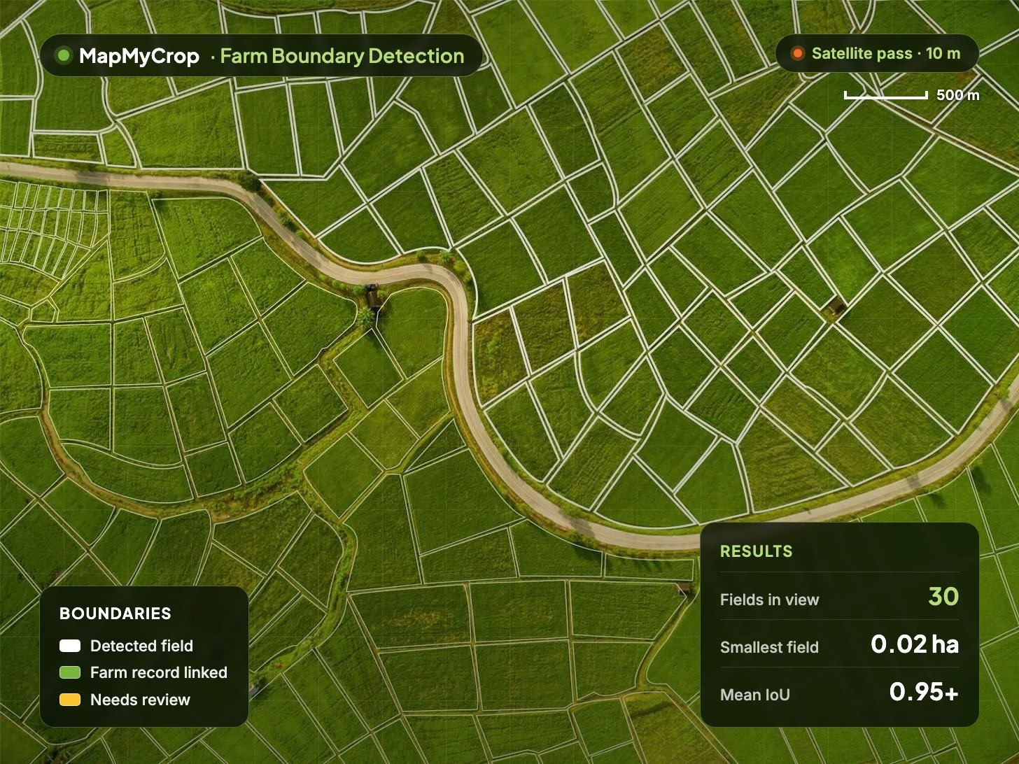
Analytics
Analytics
Access Detailed Data & High-Resolution Imagery Across Any Area
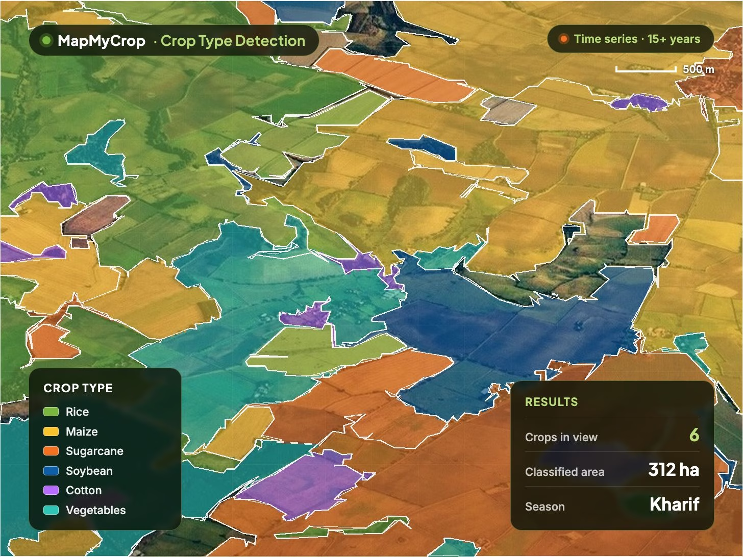
Agri-Data API
Agri-Data API
Optimize Operations, Enhance Risk Management & Make Data-Driven Decisions
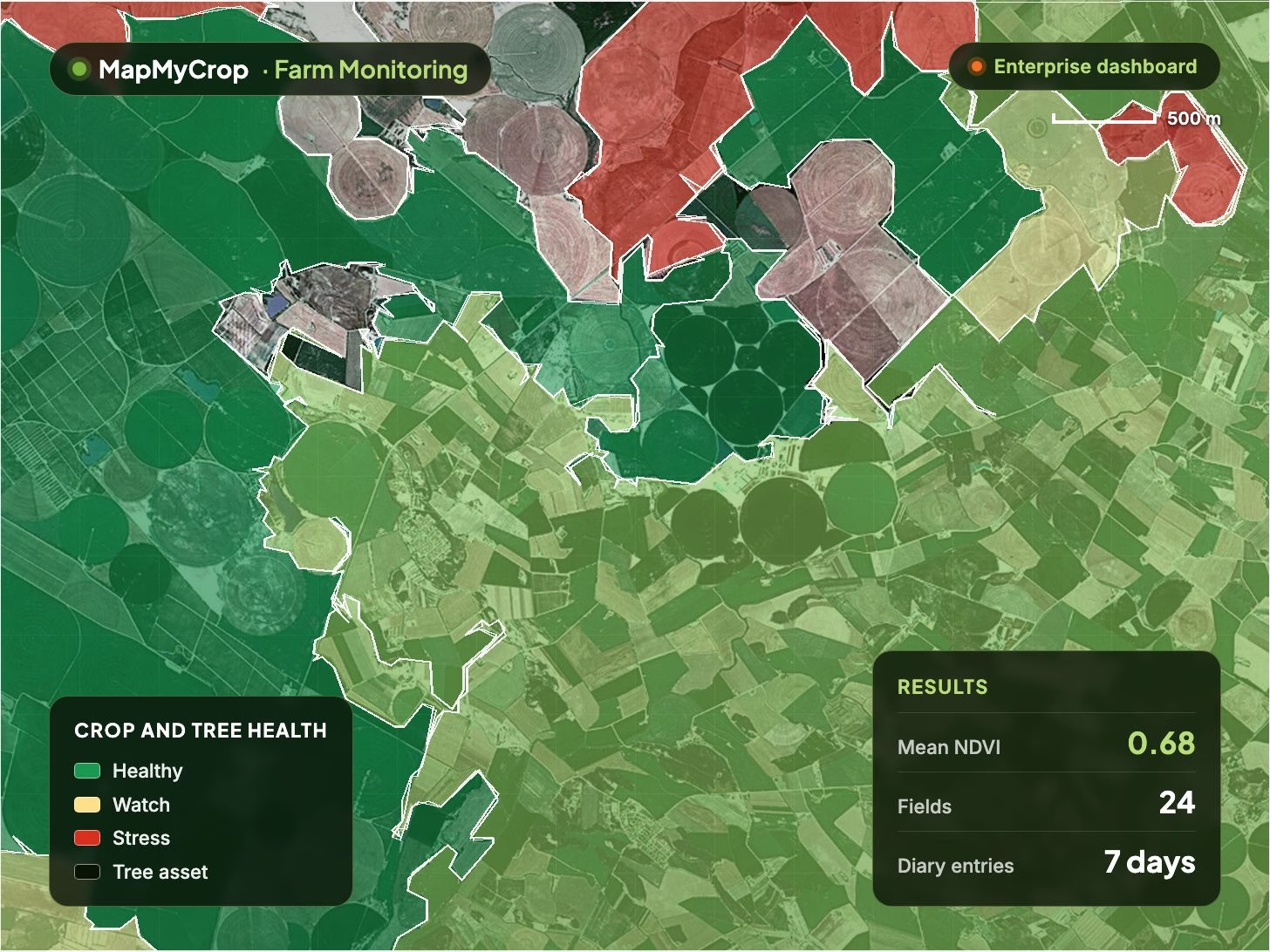
Easy Access
Easy Access
Customer Ready Images
Benefits of using Satellite Data API
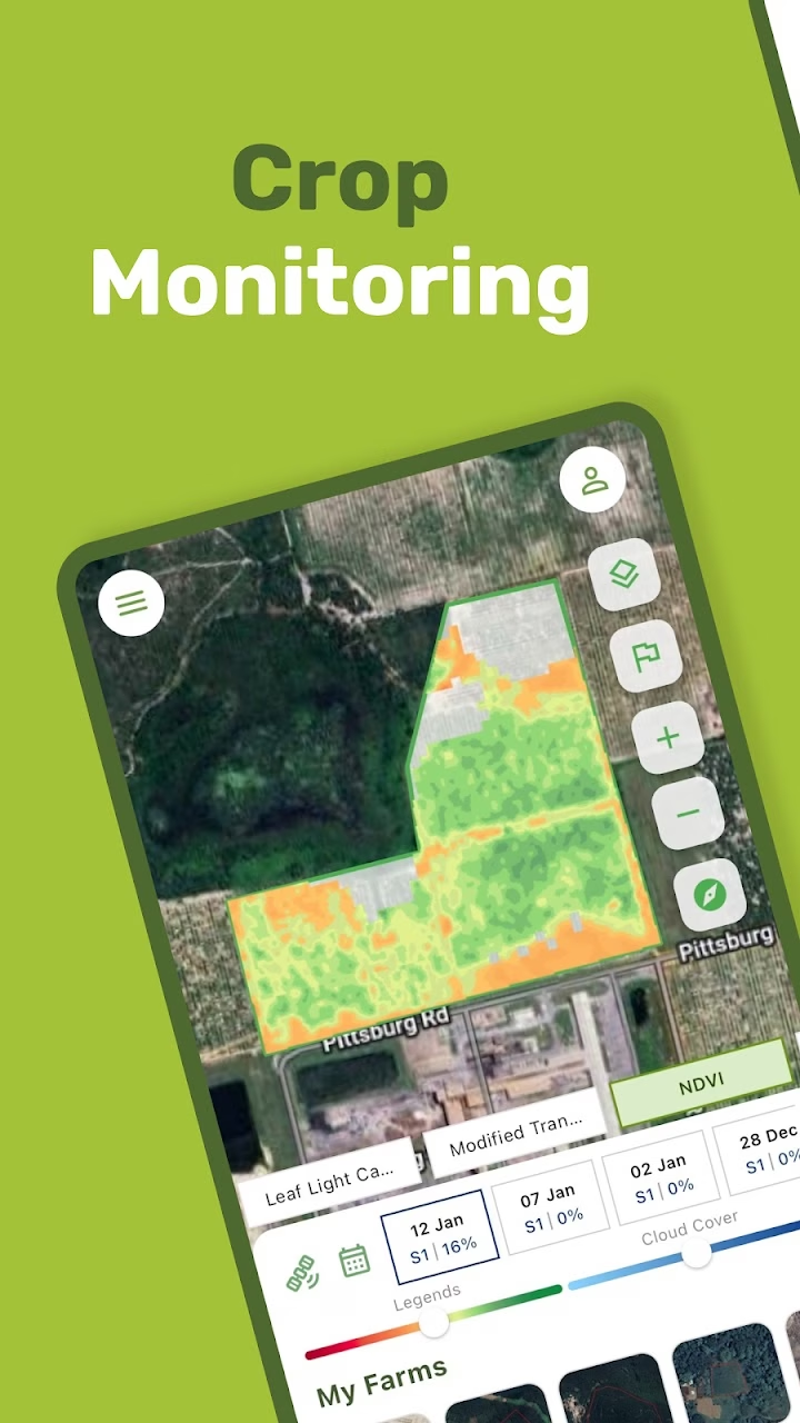

Global Coverage
Monitor your crops anywhere in the world with global coverage.

Scalable Calculations
Conduct calculations for any scale, handling millions of hectares with ease, using our simple yet powerful API.

Satellite Imagery Access
Access satellite imagery through the API for precise crop mapping, enhancing visibility and decision-making. Terms by agreement.

Comprehensive Data Delivery
Obtain a wealth of information with a single API, covering weather, economics, and water-related datasets tailored to your farm's needs.ing with data and analytics

Infrastructure Support
Focus on your product while we provide robust infrastructure for seamless data handling and analytics.

Integration Assistance
Benefit from our support in integrating data and analytics into your business processes and existing solutions, ensuring a smooth transition