Industry solutions built on satellite truth, not spreadsheets.
From the field to the balance sheet — Map My Crop delivers 360° agro intelligence for 7M+ farmers, 80+ countries, and the enterprises that finance, insure, and feed them.
Tailored intelligence for every role in the agricultural value chain
Whether you're underwriting a loan, scouting a field, or moving 50,000 tonnes of grain, Map My Crop gives your team the same satellite and AI intelligence, from one platform.
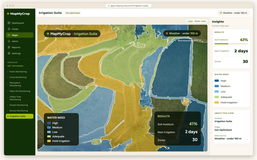
Farmers and Growers
See every field from satellite and act on alerts and advice while there is still time.
Explore →
Advisors and Consultants
Serve more growers from one platform, with maps and reports behind every recommendation.
Explore →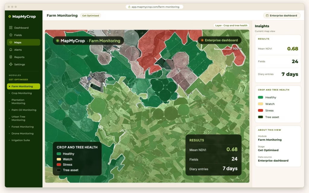
Ag Consultants
Find where to scout first and back each field visit with dated imagery.
Explore →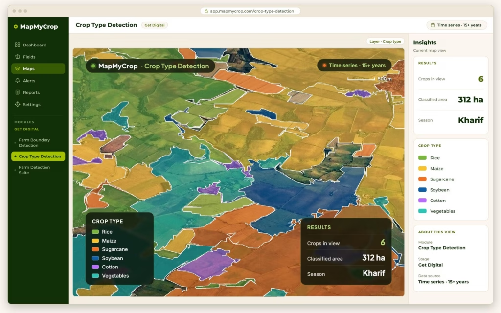
Cooperatives and Associations
Keep a digital record of every member farm and reach members with timely advice.
Explore →
Equipment Dealers
Turn field maps into prescription files that go to the machines your customers run.
Explore →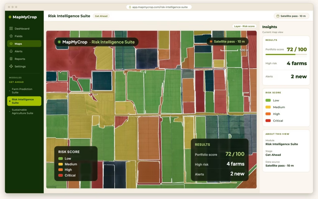
Banking and Insurance
Verify fields and crops, score risk and check claims against satellite evidence.
Explore →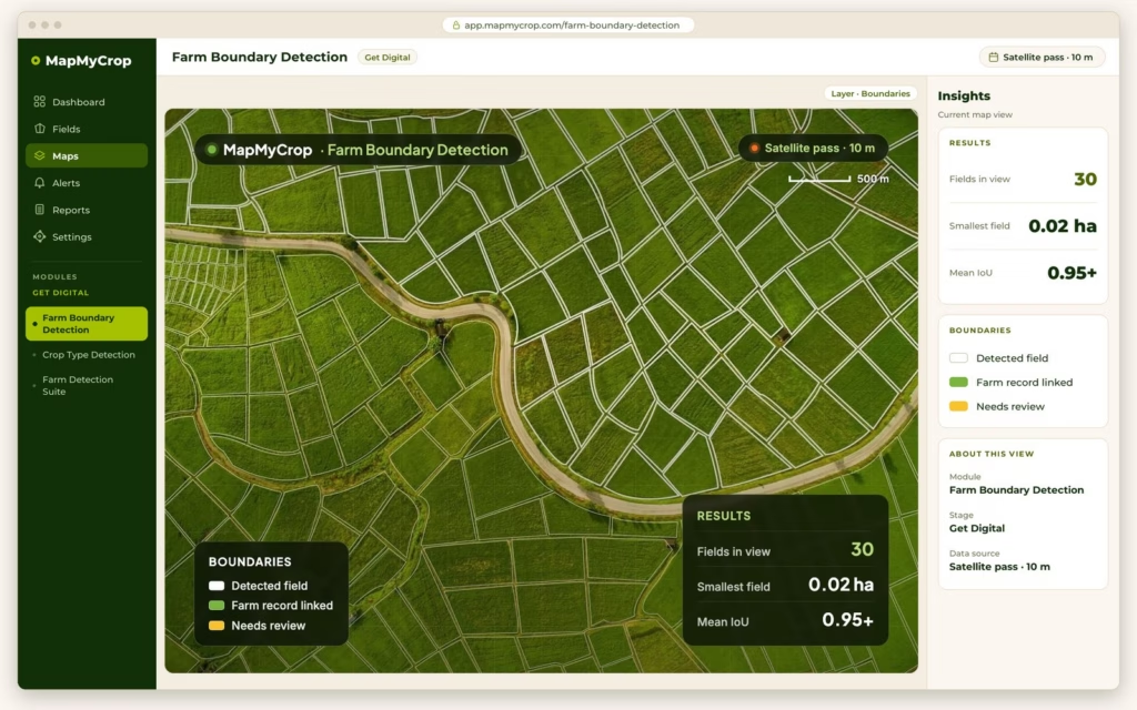
IT Companies
Add field boundaries, crop maps and monitoring to your own product through the Map My Crop API.
Explore →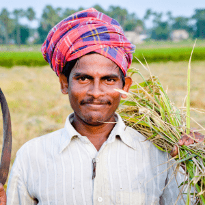
Telecom
Offer farmers field advisories by app, SMS, WhatsApp and voice call in local languages.
Explore →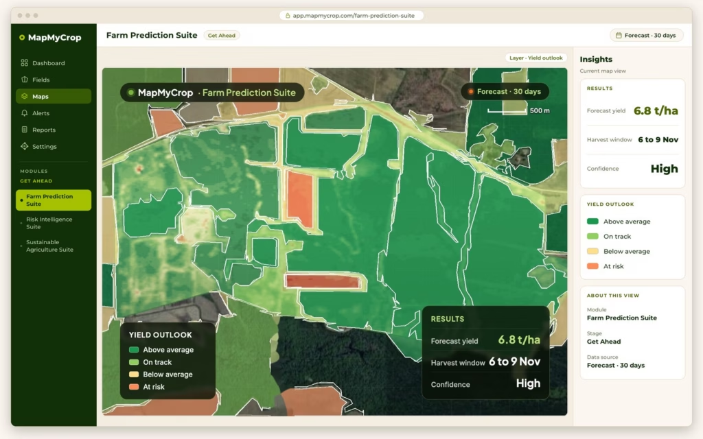
Food Processing
Know expected supply by crop and region before harvest, and trace it to the plot.
Explore →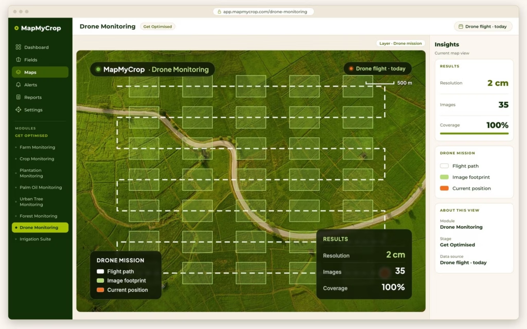
Input Suppliers
Plan distribution and advice by the crop actually growing in each field.
Explore →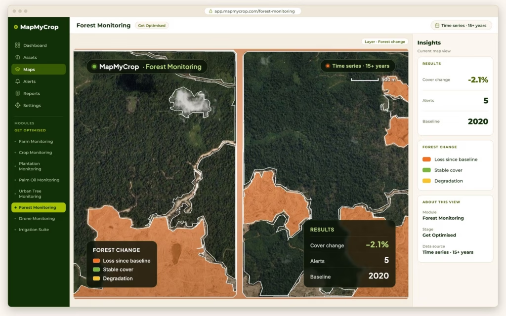
Government and Policy
Measure land, crops and forest cover from satellite, with dated evidence for reports.
Explore →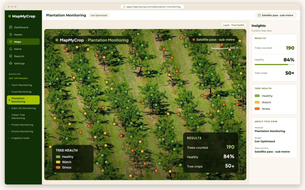
Plantation Owners
Track every block and tree, forecast harvest weight and get fire alerts.
Explore →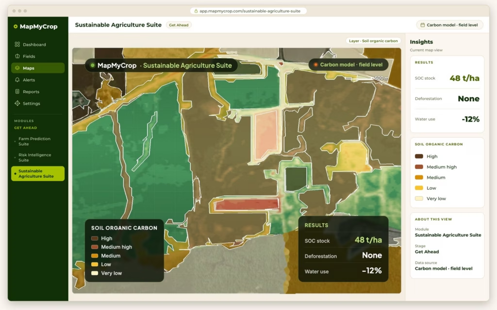
Agro Holdings and Enterprises
See condition, risk and sustainability across every farm and estate in one dashboard.
Explore →Three ways teams use one intelligence layer.
From underwriting portfolios to running cooperative field operations, one platform supports every role in the value chain.

Satellite-verified field data for underwriting
Lenders and insurers can use satellite-verified land area, crop type and field history to support underwriting and claims.

Every member field on one map
Cooperatives and agriholdings can map member plots and roll up crop health and forecasts in a single dashboard.

Crop intelligence as a value-added service
Telecom operators can bundle crop monitoring with data plans and monitor vegetation around network sites.
2,000+ AI models trained on 15+ years of satellite data
Every product runs on the same engine, fusing 10+ satellite providers with weather and soil data.
See Map My Crop in your fields.
Book a 30-minute personalized demo. We'll bring the satellite imagery of your own farms.