
Crop and tree health maps
Shows vegetation condition for field crops and tree blocks from regular satellite imagery.
Farm Monitoring
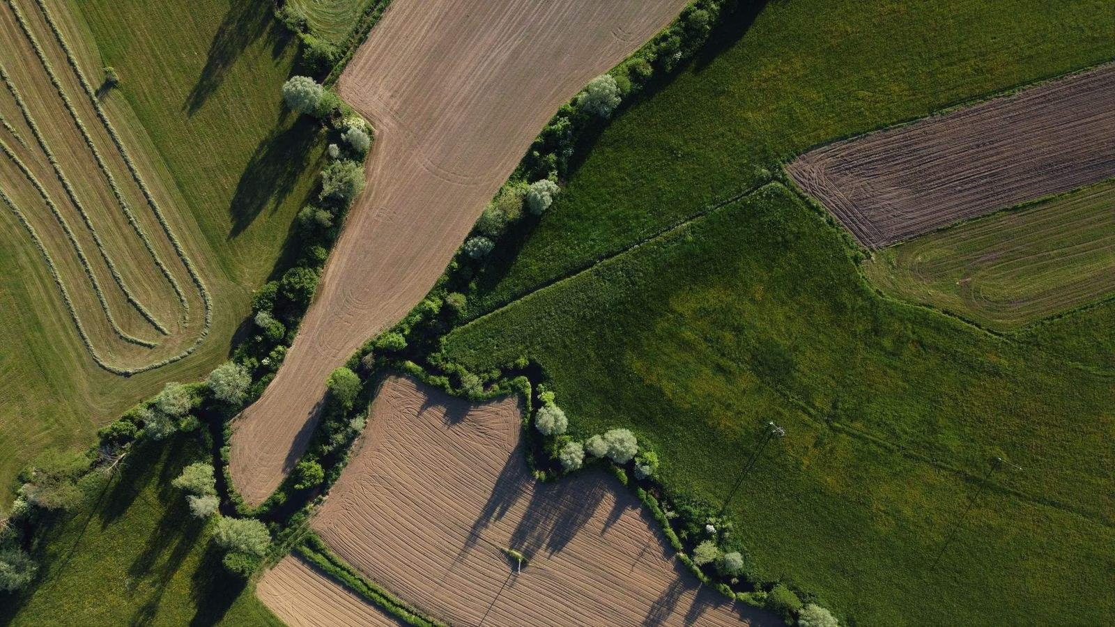
Tracks crop and tree health across farms that grow both. One view of every field and tree block, built from satellite imagery and AI.
Farm Monitoring brings satellite imagery and AI together for farms that grow both crops and trees, so every field and tree block can be checked in the same place.
Shows vegetation condition for field crops and tree blocks from regular satellite imagery.
Keeps each field and tree block as its own area, so results are reported where you manage the land.
Compares current imagery with earlier dates to show where condition has changed.
Flags fields or blocks where condition departs from its usual pattern, so teams know where to look first.
Marks areas on the map to check on the ground, so site visits go where they matter.
Keeps dated imagery and maps together, with export and API access for your own systems.
Field-level crop health
Orchards and tree crops
Map every farm and field
Water decisions by field
Farms that grow crops and trees no longer need separate tools to check each.
See which fields and tree blocks need attention first, without walking every one.
Use dated imagery and change maps to back up scouting and advice.
Keep a field-level record of crop and tree condition across many farms.
Map farms with Farm Boundary Detection, or move to Crop Monitoring or Plantation Monitoring when a farm has a single land type.
Farm Monitoring tracks crop and tree health across farms that grow both. It uses satellite imagery and AI to show how each field and tree block is doing over time.
It is for farms and farm managers that grow both crops and trees, and for the agronomists, lenders and agribusinesses that support them. If a farm grows crops only, see Crop Monitoring. For orchards and tree crops only, see Plantation Monitoring.
Crop Monitoring is for crops only and Plantation Monitoring is for orchards and other agricultural tree crops. Farm Monitoring covers farms that have both in one view.
It uses satellite imagery and AI models. Where you need more detail than satellites can resolve, Drone Monitoring adds high-resolution drone imagery.
Yes. Book a demo with our team and we will show Farm Monitoring on your own land. You can also contact us with questions first.
Farm Monitoring works from field and block boundaries. If you do not have them yet, Farm Boundary Detection can map them from satellite imagery.
Tell us where you farm and which crops and trees matter, and we will show what Farm Monitoring can do for your land.
MapMyCrop is used by 7M+ farmers across 80+ countries. Talk to our team about Farm Monitoring for your crops and trees.
You cannot copy the content of this page. It is protected and copyrighted by the company. Except for some part which is owned by 3rd party. Please reach out to us for more information


